Last month I took a trip to Italy where I knew I would be exploring several different cities. I didn’t want to buy a SIM card or add international data plan to my phone or carry around maps so I searched for new tools.
There are several out there so the ones I describe might not be the best or only, just the one I used. For my location based mapping I downloaded ahead of time on free wifi maps on the app maps.me. Here you can see maps from a high level. Once you zoom into an area it’ll ask you to download that map.
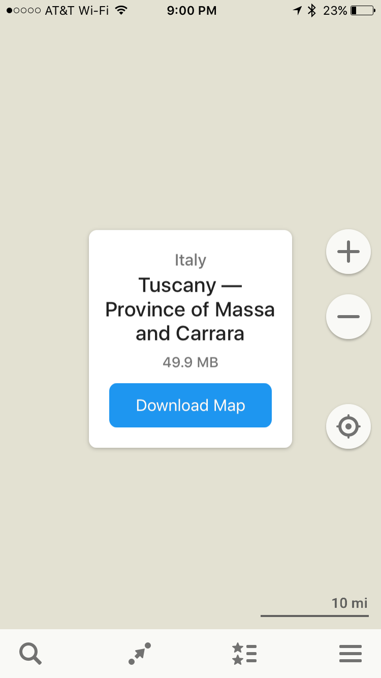
As you can see in the screenshot, it tells me the map region, size it takes to download, lastly the action to download. Once you’ve downloaded the regional/city map you can access it offline.
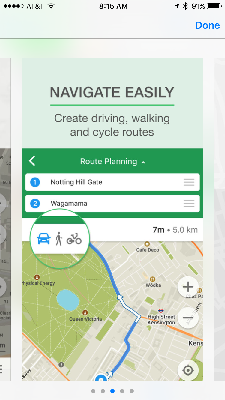
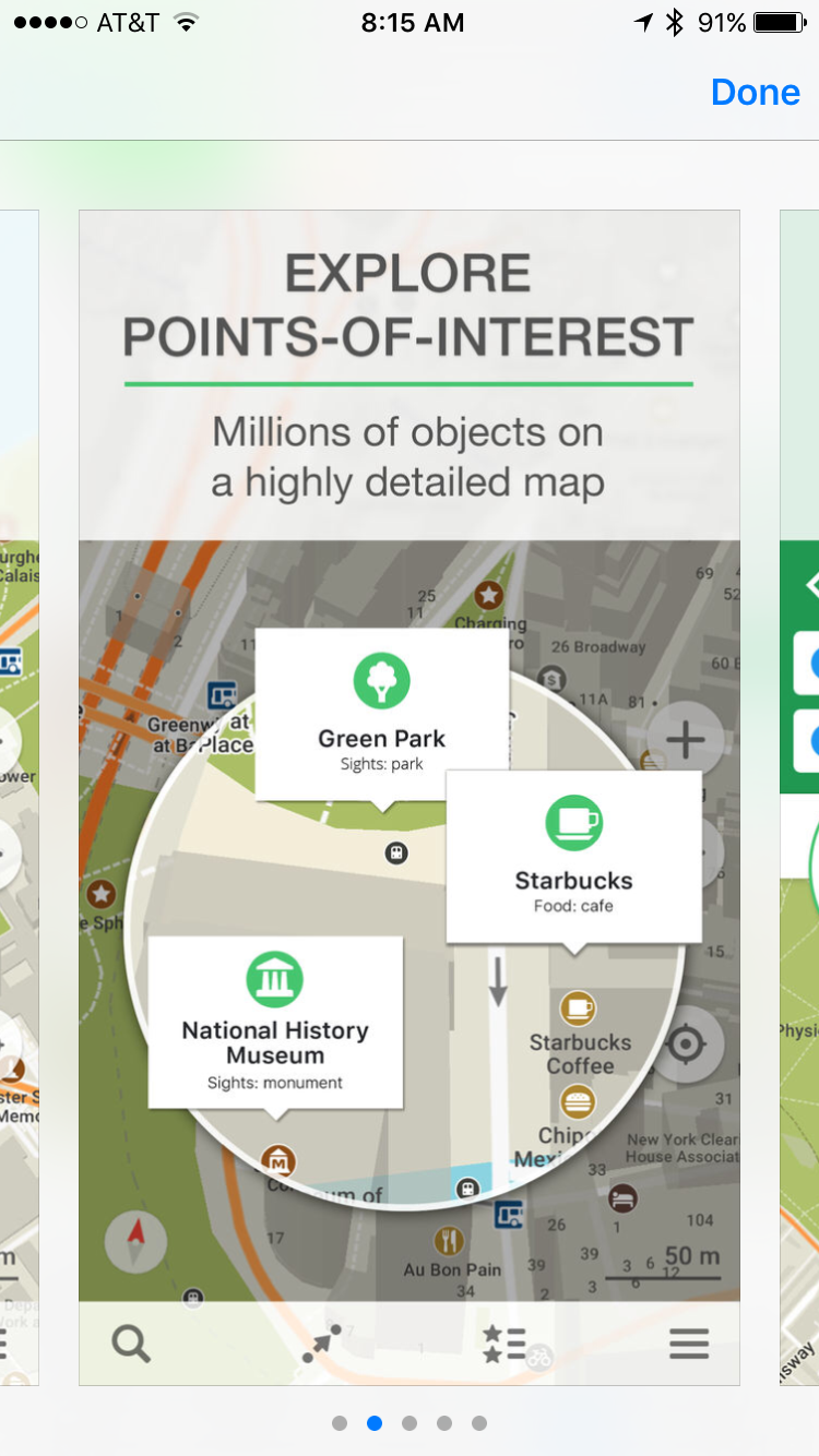
There are great feature including search, navigation, pin drop to find you way back to a marked place among other. Those were the main features that I used while in Italy.
Remember, before you go or while you have wifi, zoom into the areas you’ll be traveling so you can download the maps before you get there to guide you to your next wifi zone, hotel, or restaurant.
Happy travels!
Leave a comment of other maps you use when offline.
